Parcel Mapping
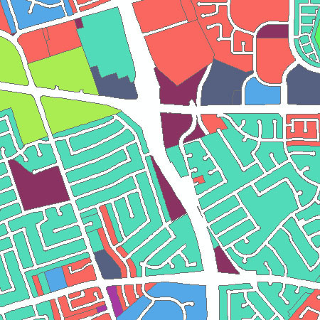
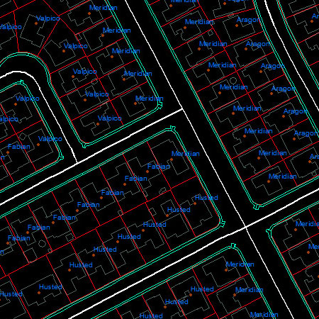
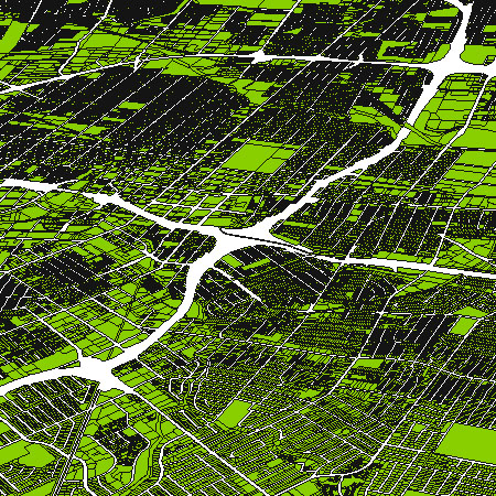
Changing land development and increasing property values make it important for a community to maintain accurate parcel maps to identify and maintain the currency of legal boundaries for public and private properties. CartoSolution Parcel Mapping service deliver detailed, accurate digital resources.
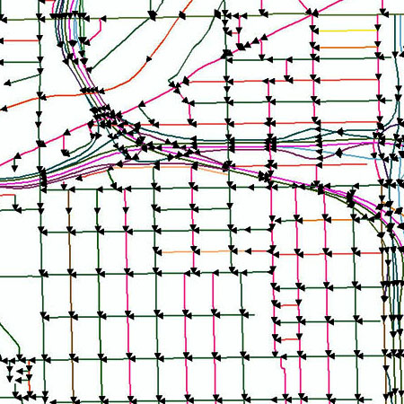
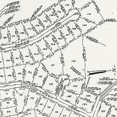
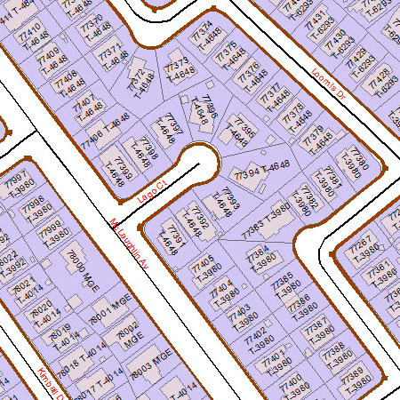
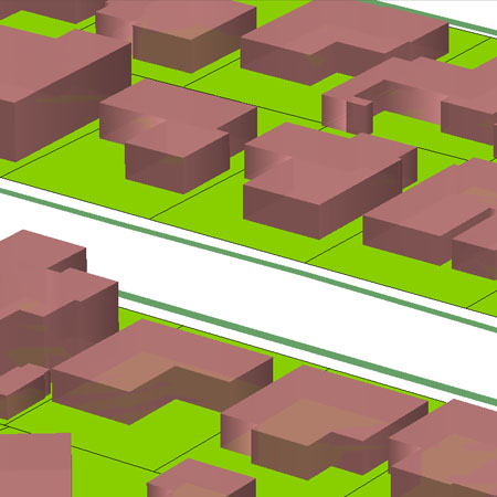
Parcel data is created from existing mapbooks and legal scan documents. Parcel data can be mapped by COGO technique to enter the legal metes and bounds. These parcel data are used to build a new parcel database or update an existing database for ESRI platform or Autodesk platform. Parcels may need to be cleaned and validated by rules defined in topological process to remove spikes and gaps between parcels, and satellite or drone imagery may also be requird to map accurate Geocoding and parcel data. The final data may be delivered in a simple shape file, or DWG
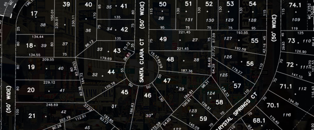
We have expert team of GIS and Project Management professionals with latest hardware and software knowledge, CartoSolution has completed many parcel digitization projects for clients across all over the world. Our successfully executed projects range in scope from maps created through cleaning and updating existing datasets, to building custom parcel database from newly acquired data.
Application for Parcel Mapping
- Land Use Cover Planning / Urban Planning
- Tax Assessment
- Utilities Surveys
- Telecom and Network services
- Environmental Impact Analysis
- Disaster Management
- Flood damage estimation
Deliverables
- .shp (ESRI)
- GeoDatabase (ESRI)
- .dwg (AutoCAD)
- Open GIS
- .KMZ
- Colada
Land Information System
The Land Information System (LIS) is an established land surface modeling framework that integrates various community land surface models, ground measurements, satellite-based observations, high performance computing and data management tools. More...
digitization and QC process
We fallow National Standard for Spatial Data Accuracy (NSSDA). With the defined statistic and testing methodology for positional accuracy of maps and it is convenient for both party (vendor and client) to establish "pass-fail" criteria for delivery.
The testing methodology is comparison of data set coordinate values with coordinate values from a higher accuracy source for points that represent features readily visible or recoverable from the ground. While this standard evaluates positional accuracy at points, it applies to geospatial data sets that contain point, vector, or raster spatial objects. More...
Get a Quick Quote
We will get back to you soon. Thanks for the mail!
